Matthew Haffner, PhD
Geospatial data scientist // Researcher // Consultant
I'm a geospatial data scientist building pipelines, spatial models, and interactive tools in R and Python, with AI integrations for image analysis, semantic filtering, and search. I'm an Associate Professor at the University of Wisconsin–Eau Claire and the co-founder of 4th Coast Consulting. I welcome opportunities for consulting projects and partnerships in geospatial data science, data engineering, earth observation, and urban planning. Interested in working together? Feel free to get in touch!
Selected projects
A sample of the applied geospatial and data science projects I've built or led.
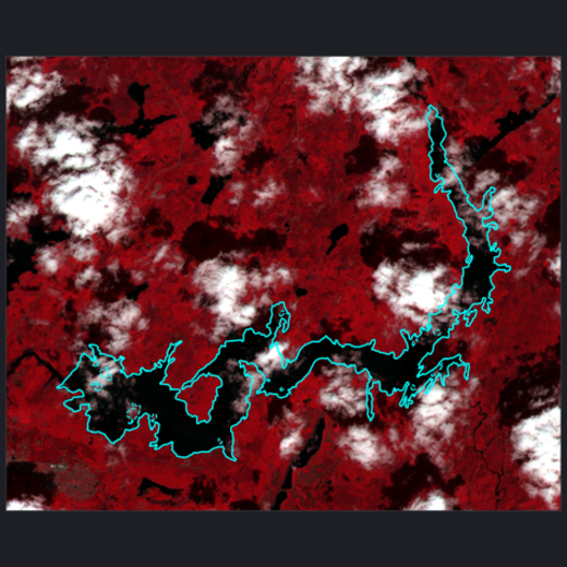
Birch Lake Watershed Monitor
A cloud-native pipeline for satellite monitoring upstream of the Boundary Waters, combining Sentinel-2 and Landsat imagery, AWS storage, Terraform, and automated GitLab CI workflows.
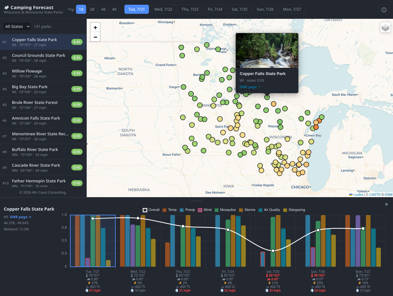
Camping Suitability Forecast
A 7-day camping suitability dashboard for 131 Wisconsin and Minnesota state parks, combining forecasts, kriging, and semantic search.
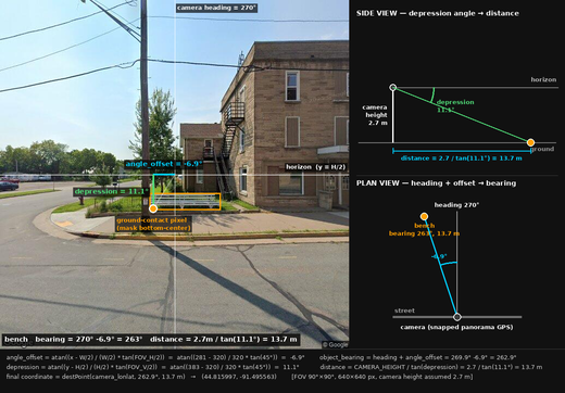
GeoAI Urban Inventory
A GIS inventory of street furniture built from Street View imagery, object detection, and geometric geolocation — no field survey required.
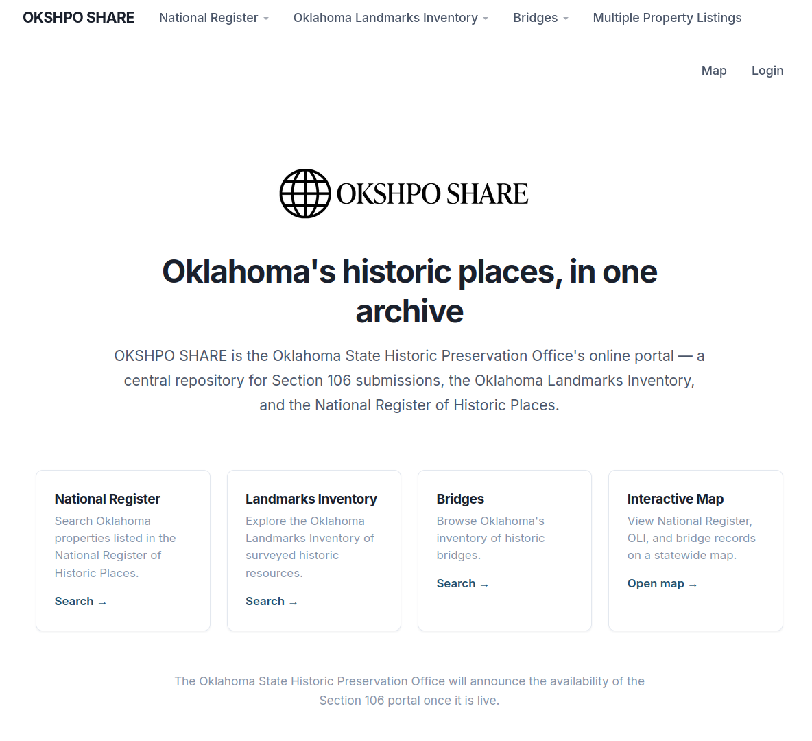
OKSHPO Share Portal
A statewide historic preservation compliance platform migrated to a containerized Python/PostGIS stack on AWS.
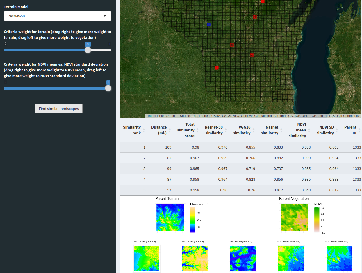
Landscape Search Engine – Wisconsin
Neural-network terrain similarity search across Wisconsin, combining DEM and NDVI data in an interactive Shiny app.
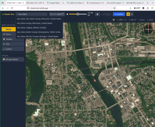
Shade Tool
A web app that projects shadow coverage from structures of any height, for any day and time, using solar position.